Hiking in the Ardèche Mountains: on foot, by mountain bike or on snowshoes
Welcome to a natural area of nearly 600 km², classified as a Global Geopark by UNESCO for its unique characteristics! Nearly 4 km of marked trails await you, whether you like walking, cycling or hiking in the snow.
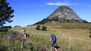
Discover an overview of the most beautiful hiking routes in the Ardèche Mountains, from Mont Gerbier-de-Jonc to the Tanargue massif, in the heart of exceptional landscapes. During your walks, discover a unique architectural and natural heritage.
The Ardèche mountains offer several alternatives for hiking and having fun according to your desires.
On foot, it offers its visitors the opportunity to stroll on more than forty marked hiking routes (loops of all levels), to follow itineraries (GR3 and GR7) but also heritage hikes, for those who like to discover while having fun with the family. All of these trails are of course accessible by snowshoes!
For those who prefer to cycle, more than fifty mountain bike circuits are offered. Seasoned mountain bikers can also embark on the adventure of the Grande Traversée de l'Ardèche by mountain bike (roaming). Strong sensation guaranteed!
Hiking in the Ardèche Mountains
The hiking circuits
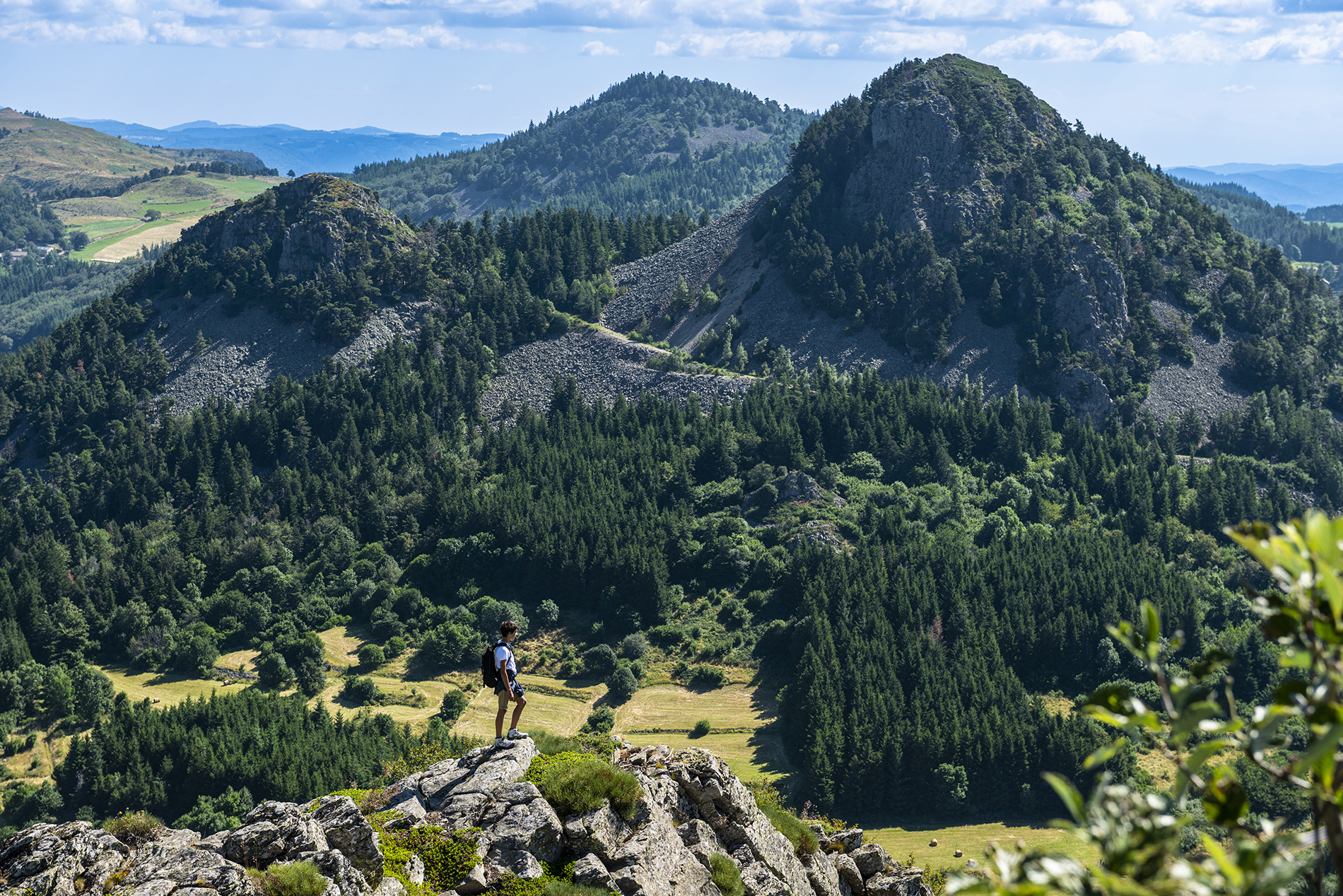
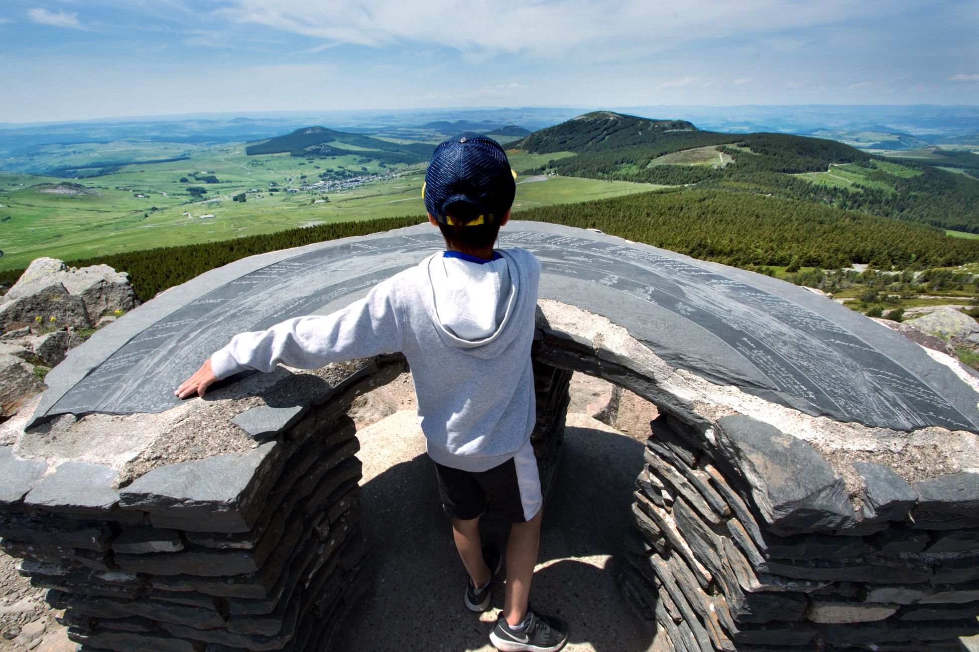
Forty-six marked hiking trails are available in the Ardèche mountains. Set off to discover a territory rich in landscapes and heritage. Come hike and breathe in the Ardèche highlands: its juices, with Mont Mézenc and Mont Gerbier-de-Jonc to name but a few, its four lakes, its rivers and other natural wonders will allow you to take a break.
If certain hikes are classified as difficult or very difficult, with a steep drop in altitude and a significant number of kilometers, circuits classified as easy or very easy allow families to hike with complete peace of mind. Because walking with the youngest can be complicated, even downright nightmarish! To avoid this and take your children to discover the wonders of Ardèche, there are multiple itineraries lasting half an hour to two hours, without significant elevation changes and dotted with natural or cultural curiosities.
Crushs
Among the fifteen easy circuits, here are the four favorites of the tourist office team :
- around Lake Issarlès: 3,5 km walk with a swimming break
- the Roches de Borée: a 5,5 km circuit which allows you to admire Mont Mézenc and the Boutières cirque
- the Taranis Arga interpretation trail in Borne: 4,3 km of quiet walking to discover different natural environments (forests, peat bogs, moors)
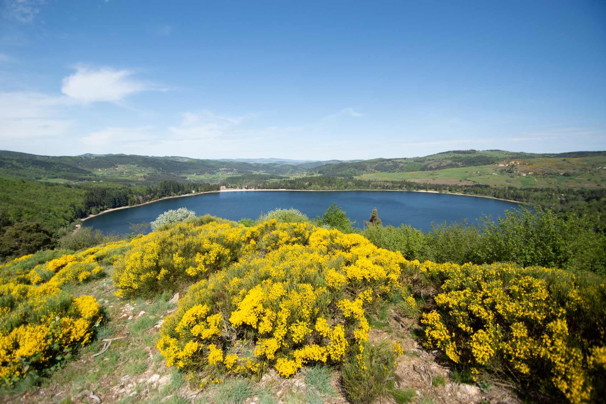
- La Vestide du Pal au Roux: 6,3 km walk which takes you to the edges of one of the largest maar craters in Europe.
Long-distance hikes in the Monts d'Ardèche
For experienced hikers, the region offers different routes to cover over several days.
The GR®7 in the Ardèche Mountains
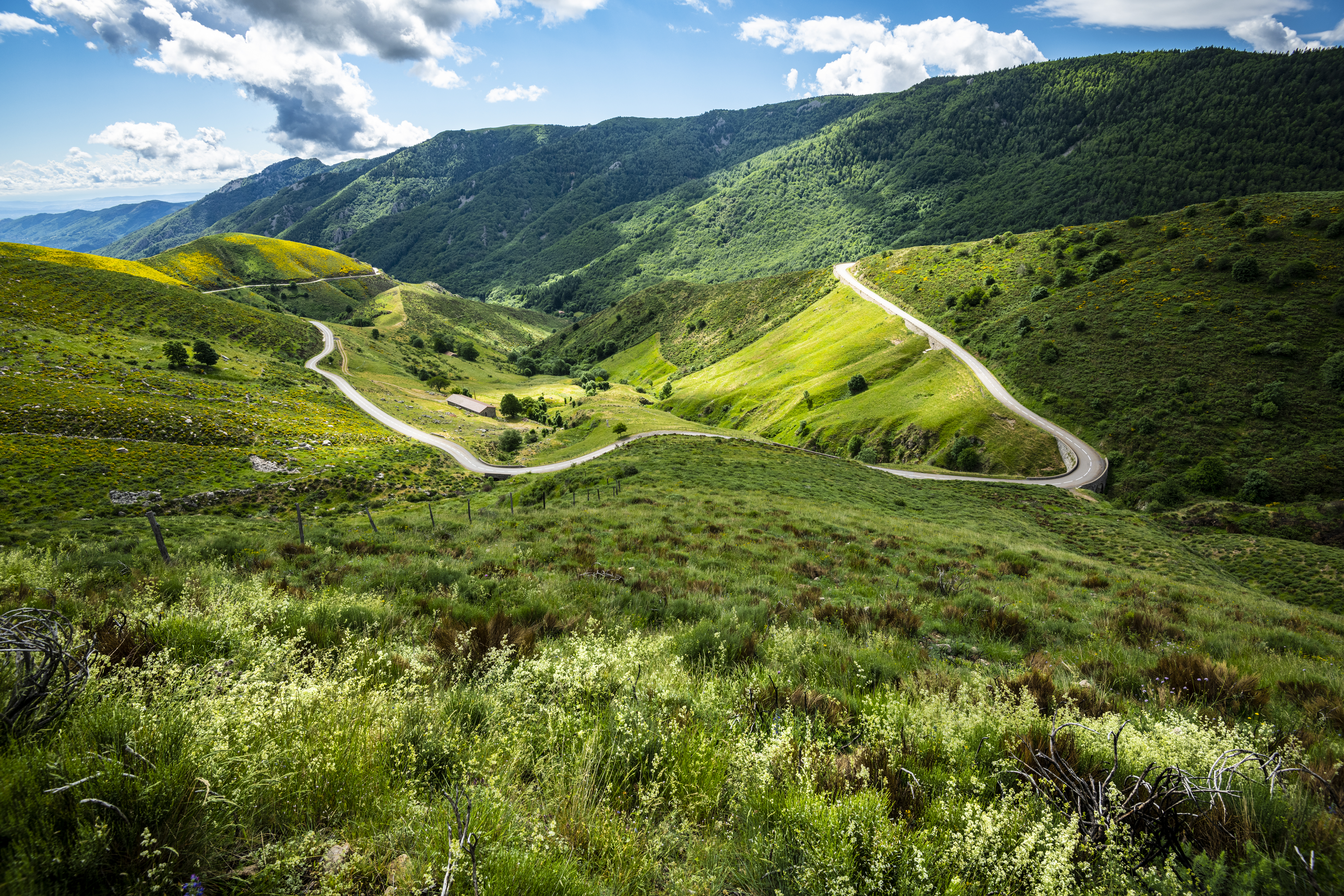
Of the 106 km of this route, 89 km are in the Ardèche mountains. This superb hike takes you to discover the main wonders of the region, from Estables to La Bastide-Puylaurent:
- the first stage takes you from the village of Fay-sur-Lignon to the assault on Mont Mézenc, in 18 km with a fairly significant difference in altitude;
- on the second day, you cover 30 km alternating uphills and downhills, and along the way you admire the Boutières cirque, Mont Gerbier-de-Jonc (possible ascent for the most motivated!) and the pretty Ferrand lake;
- the third portion of the GR®7, less rugged, allows you to discover the sources of the Ardèche and the Cham Longe plateau over a fairly easy 25 km;
- the 16 km of the final stage take you to La Bastide-Puylaurent, passing by the legendary Notre-Dame-des-Neiges abbey.
The artistic journey of the Partage des Eaux and its wonders
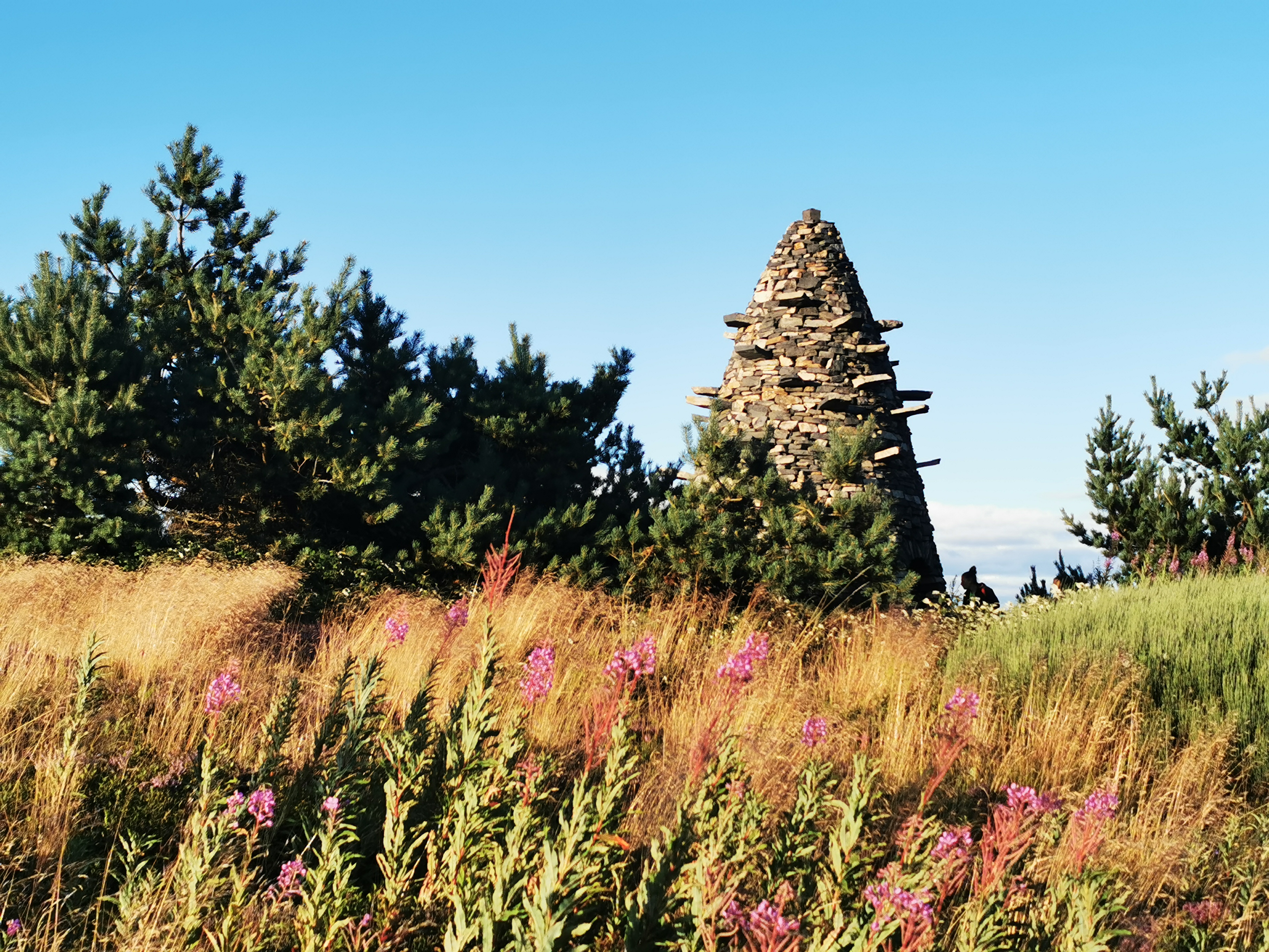
It is precisely on the GR7 that the Partage des Eaux artistic trail was created in 2017. This open-air contemporary art trail which crisscrosses the Parc des Monts d'Ardèche for more than 100 km gives the opportunity to hiker to discover the Ardèche mountains differently and… artistically.
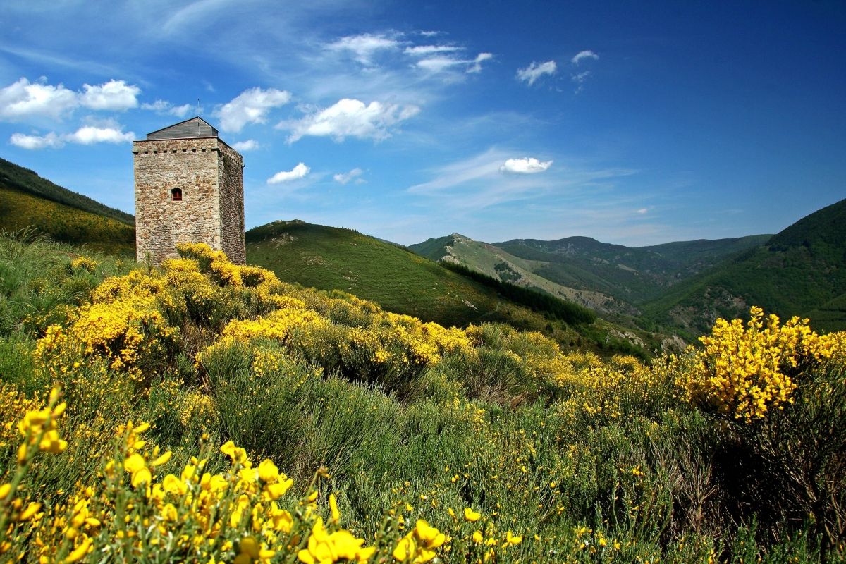
The route is home to exceptional geological sites such as Mont Gerbier-de-Jonc and Mont Mézenc but also remarkable built heritage (the Chartreuse de Bonnefoy, the abbey of Mazan, the tower of Borne, the abbey of Notre-Dame des Neiges ) which host contemporary works of art by internationally renowned artists seduced by the idea of using the imaginary line of the Watershed (between the Mediterranean and the Atlantic) as the backbone of a unique journey.
Eight contemporary artists for eight exceptional sites. Whether on foot, by mountain bike or on horseback, the hiker who travels the artistic route of Partage des Eaux discovers a unique creation.
Pieces :
- De l'autre côté by Stéphane Thidet (Chartreuse de Bonnefoy) – Le Béage
- 1020 km, Olivier Leroi (Gerbier de Jonc site house) – Ste Eulalie
- The Water Tower, Gilles Clément (La Chaumasse) – Sagnes and Goudoulet
- A circle and a thousand fragments, Félice Varini – Mazan l’Abaye
- The Lighthouse, Gloria Friedmann (Le Moure de l’Abéouradou) – Borne
- Terre Loire, Kôichi Kurita (Notre-Dame des Neiges Abbey) – St-Laurent les Bains
- The Crystal Cave, HeHe – Saint-Laurent-les-Bains-Laval-d’Aurelle
- Ouroboros – Henrique Oliveira – Burzet
In addition to the works, the route houses sights, furniture and Geosites.
The Sharing of Waters is where it happens: https://www.lepartagedeseaux.fr/
The GR®3, along the Loire
This superb route allows you to follow the course of the longest river in France, the Loire, from Mont Gerbier-de-Jonc where it draws its source to Saint-Nazaire. Your visit to the Montagne d'Ardèche is the ideal opportunity to enjoy the first stages of this GR, from the sources of the Loire to Lafarre, passing through the Bonnefoy national forest, the nearby village of Béage or even the Lake Issarlès, ideal for swimming and water activities. The Loire: indomitable river, considered to be the last wild river in Europe with its 1006 km of meanders.
Its many whims, however, have pushed men to dam the mythical river in order to protect themselves from its destructive floods. Thus, the Loire is perhaps no longer as wild as is claimed, particularly between Nevers and the Atlantic.
It is in the Montagne d'Ardèche, where it takes its source, that it is the most perennial and preserved. Taking the GR3 – the first official marked long-distance hiking trail in France – is to discover an astonishing Loire, with its inestimable natural wealth. Birds, fish, otters and beavers, yellow-bellied toads (and many others) have taken up residence in these exceptionally pure Loire waters.
Allow 7h30 of walking for the 1st stage (30 km) to make Mont Gerbier-de-Jonc – Lafarre. You can also shorten stage 1 by stopping at Lac d'Issarlès and joining Lafarre the next day. Instead, choose a departure in spring. As Mont-Gerbier is located at an altitude of 1400m, the weather can be capricious before April!
Hikes to discover heritage
Because the Montagne d'Ardèche is not only a grandiose natural site, why not combine hiking and culture? For this, the community of communes offers you no less of eight itineraries to discover the heritage riches of the region:
- the abbey of Mazan, which has dominated the surrounding area for more than nine centuries and whose visit is fascinating;
- Saint-Laurent-les-Bains, whose very easy circuit with a length of only 1,8 km, allows you to discover the hot water spring which made the village famous and to admire the famous Grotte de Crystal (work from the Partage des Eaux artistic journey);
- Saint-Etienne-de-Lugdarès, with 2,6 km of easy hiking in the heart of the village, is an excellent idea for a walk to discover the Ardèche heritage;
- Borée, whose church and the Tchier – an open-air work of art – await you along an easy 3 km walk;
- Sagnes-et-Goudoulet, the “village with slate roofs”, which you cover in a little over 3 km easy, part of which is in the woods;
- Sainte-Eulalie whose path takes you to meet the classified farm of Clastre and the typical landscapes of Ardèche, along 3,3 km without difficulty;
- Le Roux, which combines architecture and natural heritage over 5 km of medium difficulty;
- Le Béage, an intermediate level 5,6 km loop which offers beautiful panoramas of the Sucs and allows you to discover the Saint-Pierre church.
Each walk is accessible to all and accompanied by a fun booklet: find out more at the Montagne d'Ardèche tourist office or download your heritage hike: https://cc-montagne-ardeche.fr/culture-patrimoine/patrimoine/
Mountain biking in the Ardèche Mountains
MTB circuits
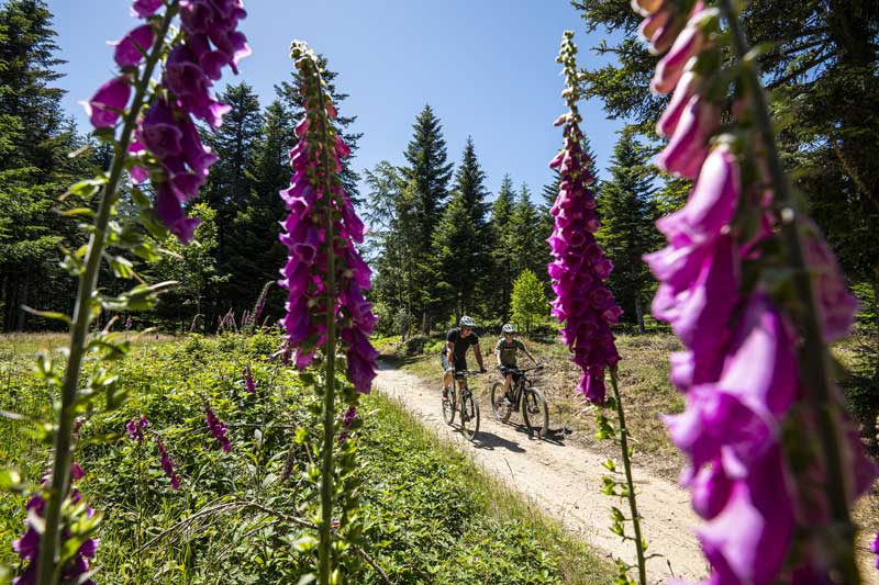
Mountain biking when you hold us! In terms of mountain biking, the possibilities are immense with more than fifty circuits which invite you to discover a unique territory. Mountain biking in the mountains of Ardèche is reserved for beginners or less experienced mountain bikers, as well as mountain bikers “who have something under their belt”! The main thing is to choose your circuit carefully and adapt it to your level.
As for hiking, there is a map of mountain bike trails in the Ardèche mountains on sale in the tourist office offices. In addition to the map, you can consult the circuits on https://rando.montagnedardeche.com/ or download the application Hiking Monts d’Ardèche which gives access to GPX tracks.

For beginners, trying the electrically assisted bike allows you to travel peacefully through the countryside. The terrain and distances will no longer be a problem for occasional cyclists. Several rental points are available in the area.
The great crossing of Ardèche by mountain bike, from Estables to Vans
Hiking trails are not just for walkers! Taking GR®3 and 7, this superb route takes you to discover the Monts d'Ardèche. With a length of 126 km, this route offers three cycling stages between moors and juices:
- from Estables to Lanarce, over approximately 52 km, the route winds between the Col de la Croix des Boutières, Mont Gerbier-de-Jonc and the Ray Pic waterfall;
- from Lanarce to Montselgues await you 39 km of altitude difference interspersed with the crossing of the Cham Longe plateau and a welcome swim in the waters of the Borne;
- From Montselgues to Vans, the last 34 kilometers of the route run alongside the Thignes valley and cross wooded, rugged and contrasting landscapes.
The route is also certified by the French Cycling Federation: https://www.francevelotourisme.com/itineraire/grande-traversee-de-l-ardeche-vtt
On a practical level, know that you can have your luggage transported using the Postal Mail. Practical information for hiking lightly: https://www.lamallepostale.com/fr/
