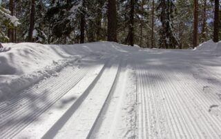
The Nordic area of La Chavade is located between 1380 m. and 1504m. altitude. You will evolve within a 56 km ski area with slopes ranging from 2 km to 20 km. In a natural leisure area in the heart of a privileged site.
Description
Environmental
The village of Astet is easily accessible as it is located 1.5 km from the RN 102 main road linking the Rhône Valley to the Massif Central. The landscapes offered by the “Côte de Mayres” and the “Col de la Chavade”, 1266 m, dividing line between the Mediterranean and Atlantic waters, are remarkable. The territory of the municipality of Astet has the particularity of extending into two parts. The first, the nascent Ardèche valley with steep mountain slopes: rocky cliffs, chestnut trees, beeches, moors of broom and ferns. The second, a plateau with its immense expanses of “Fields”, heather and pine forests.
History
First erected as a parish in 1770, Astet became a commune in 1907 by amputation of the very large commune of Mayres. Its territory extends over 3445 hectares and had almost 500 inhabitants in 1911 for only 48 inhabitants in 2009. The war of 14/18 is at the origin of the decrease in the population then the desertification of the countryside from the 50s.
Heritage
Ruin of "la Verrerie", headquarters of the Resistance (private)
Source of the Ardèche (private).
Sports & Cultural Activities
Hiking.
Cross-country skiing in winter: Bel Air Nordic Zone.
Sightseeing
Breathtaking views from the magnificent ridge roads with "les Issartoux" and "Bel Air Cham Longe" and by the RN 102 "Côte de Mayres".
Opening
All year, every day.
We also offer:

The Nordic area of La Chavade is located between 1380 m. and 1504m. altitude. You will evolve within a 56 km ski area with slopes ranging from 2 km to 20 km. In a natural leisure area in the heart of a privileged site.
Location